We use cookies to ensure our site functions properly and to store limited information about your usage. You may give or withdraw consent at any time. To find out more, read our privacy policy and cookie policy.
Manage Cookies
A cookie is information stored on your computer by a website you visit. Cookies often store your settings for a website, such as your preferred language or location. This allows the site to present you with information customized to fit your needs. As per the GDPR law, companies need to get your explicit approval to collect your data. Some of these cookies are ‘strictly necessary’ to provide the basic functions of the website and can not be turned off, while others if present, have the option of being turned off. Learn more about our Privacy and Cookie policies. These can be managed also from our cookie policy page.
Strictly necessary cookies(always on):
Necessary for enabling core functionality. The website cannot function properly without these cookies. This cannot be turned off. e.g. Sign in, Language
Analytics cookies:
Analytical cookies help us to analyse user behaviour, mainly to see if the users are able to find and act on things that they are looking for. They allow us to recognise and count the number of visitors and to see how visitors move around our website when they are using it. Tools used: Google Analytics
Share Hope Street streetscape improvements on FacebookShare Hope Street streetscape improvements on TwitterShare Hope Street streetscape improvements on LinkedinEmail Hope Street streetscape improvements link
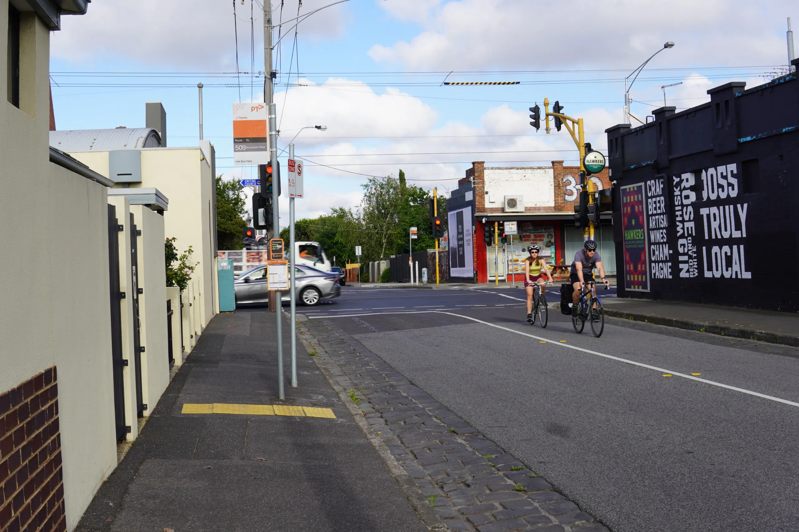
We’re working to make Hope Street an easier, safer and more enjoyable street to navigate and use for residents, as well as all the people who travel through the area to get where they need to go.
How we are planning to improve the street
We’re developing a plan for how we will make improvements to support all the ways people use Hope Street, and create a greener streetscape.
The plan will allow us to make changes to the street to meet the needs of residents and users, and help us better understand how the street functions prior to the State Governments Level Crossing Removal Project.
Project goals
Improve sustainable transport options like walking and riding bikes
Increase greenery and tree planting
Improve the look and feel of the street
Improve road safety
Types of changes proposed
To meet these objectives, we will be considering infrastructure such as
changes to how the street operates
changes to make the street safer
tree planting
improved pedestrian infrastructure
Due to the road width and conditions, separated bicycle lanes are not being considered.
We are in the very early stages of planning for this project and are looking forward to hearing what our community would like to see on Hope Street.
Location
Hope Street is located in Brunswick between the Moonee
Ponds Creek and Sydney Road. This project plan will cover the area between
Melville Road and the Upfield Rail Corridor.The section of Hope Street west of
Melville Road is not in scope for streetscape improvements.
Uses
Hope Street is a residential street that carries a mix of transport types, including the 509 Bus to Barkly Square. It borders the Brunswick Central Parklands Area, and features small sections of commercial activity, particularly in the section toward the Upfield Corridor.
The Breese Street precinct
In November 2024, we asked our community to provide similar feedback to create a plan for the Breese Street precinct improvements. This includes Hope Street east of the Upfield Rail Corridor.
Hope Street east was included in the Breese Street Precinct works due to the difference in population density, and the inherent difference of the streetscape east of the Rail Corridor.
As these projects are so geographically aligned, design options are being considered together.
Level Crossing Removal Project
Breese Street is located very close to Antsey Railway Station on the Upfield Line, and 2 level crossings at Hope Street and Albion Street.
The State Government announced in September of 2024 that they will be removing all the level crossings in Brunswick from Park Street to Albion Street, including those at Hope Street and Albion Street, as part of the Level Crossing Removal Project (LXRP).
The State Government further indicated that the project will include construction of two new railway stations, including one north of Hope Street, and the closure of Anstey Railway Station.
No further details on the LXRP plans for this area are currently available.
These decisions will be taken into consideration when developing our plans for the Breese Street improvements, and future improvements to Hope Street. A Council endorsed masterplan for this area will assist in our negotiations with the State Government during this construction of the Level Crossing Removal Project.